 dronit.pl
The world from above.
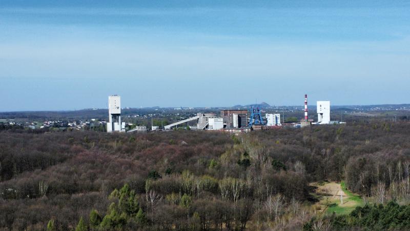
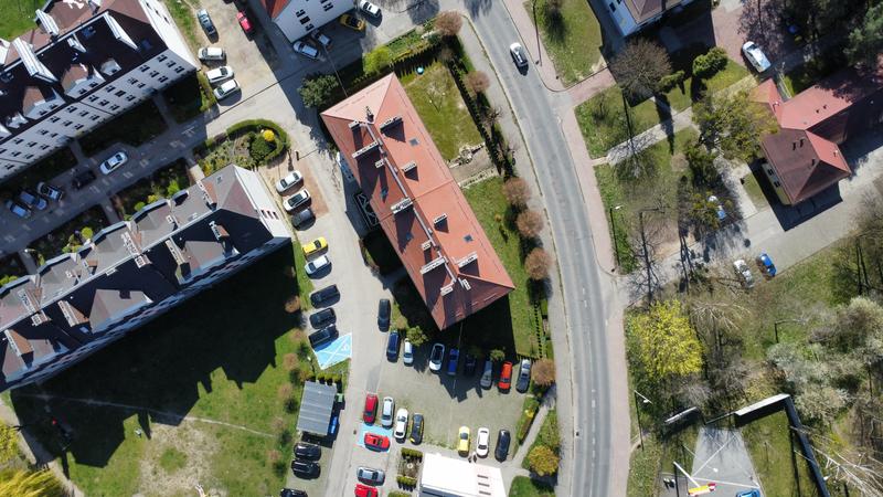
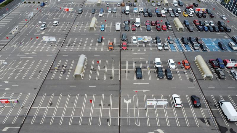
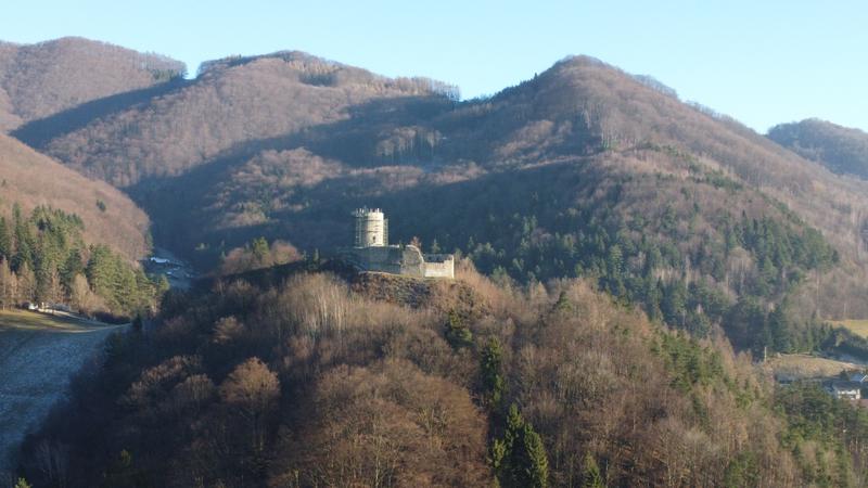
Photography, videography, technical inspections, mapping and photogrammetry with drones.
dronit.pl
Photography, videography, technical inspections, mapping and photogrammetry with drones.
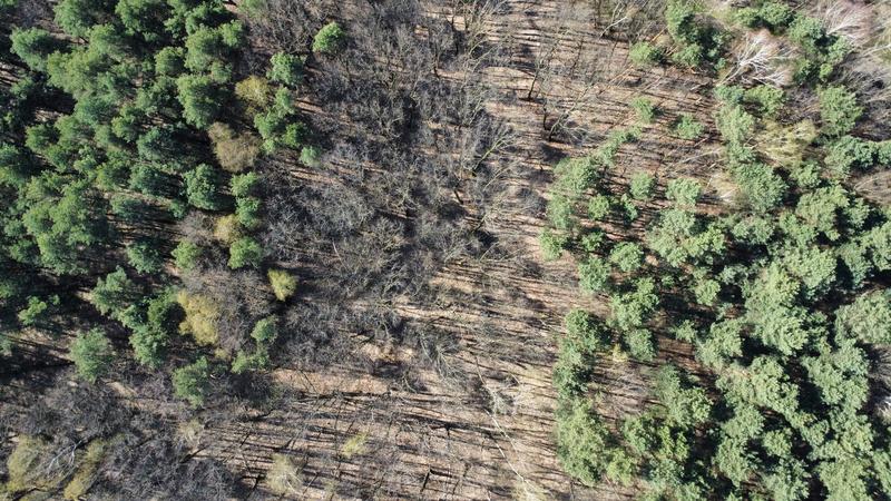
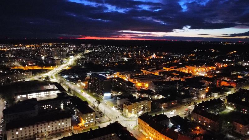
High-quality aerial footage for real estate, tourism, events and more. 4K quality.
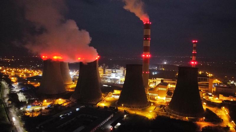
Detailed inspections of roofs, wind turbines, bridges, high-voltage pylons, solar panels and more.
Precise 2D maps and 3D terrain models for construction and agriculture.
Realistic 3D models of structures and buildings created from aerial drone imagery.
Have questions? Need a quote? Write to us!
EASA certification
We fly legally and safely.
Liability insurance
Full protection for every operation.
Dozens of flight hours
We keep gaining experience and expanding our skills.
Attention to detail
We take every detail of the assignment into account.
Safety first
We approach every mission individually, identifying and accounting for every risk.